
Freshwater Management Units will change the way we manage freshwater in our region
The National Policy Statement for Freshwater Management (NPS-FM) 2020 directed regional councils to identify areas called Freshwater Management Units (FMUs). FMUs will be key spatial units for freshwater management in the region.
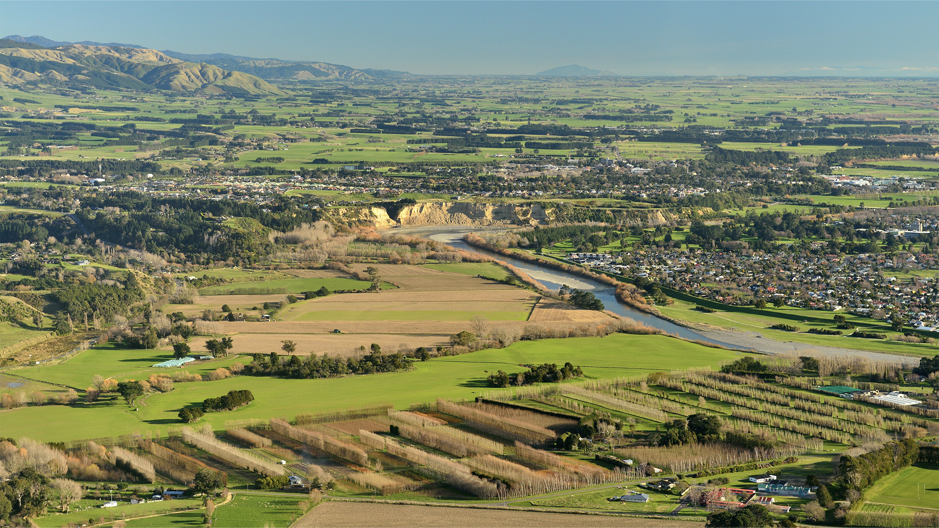
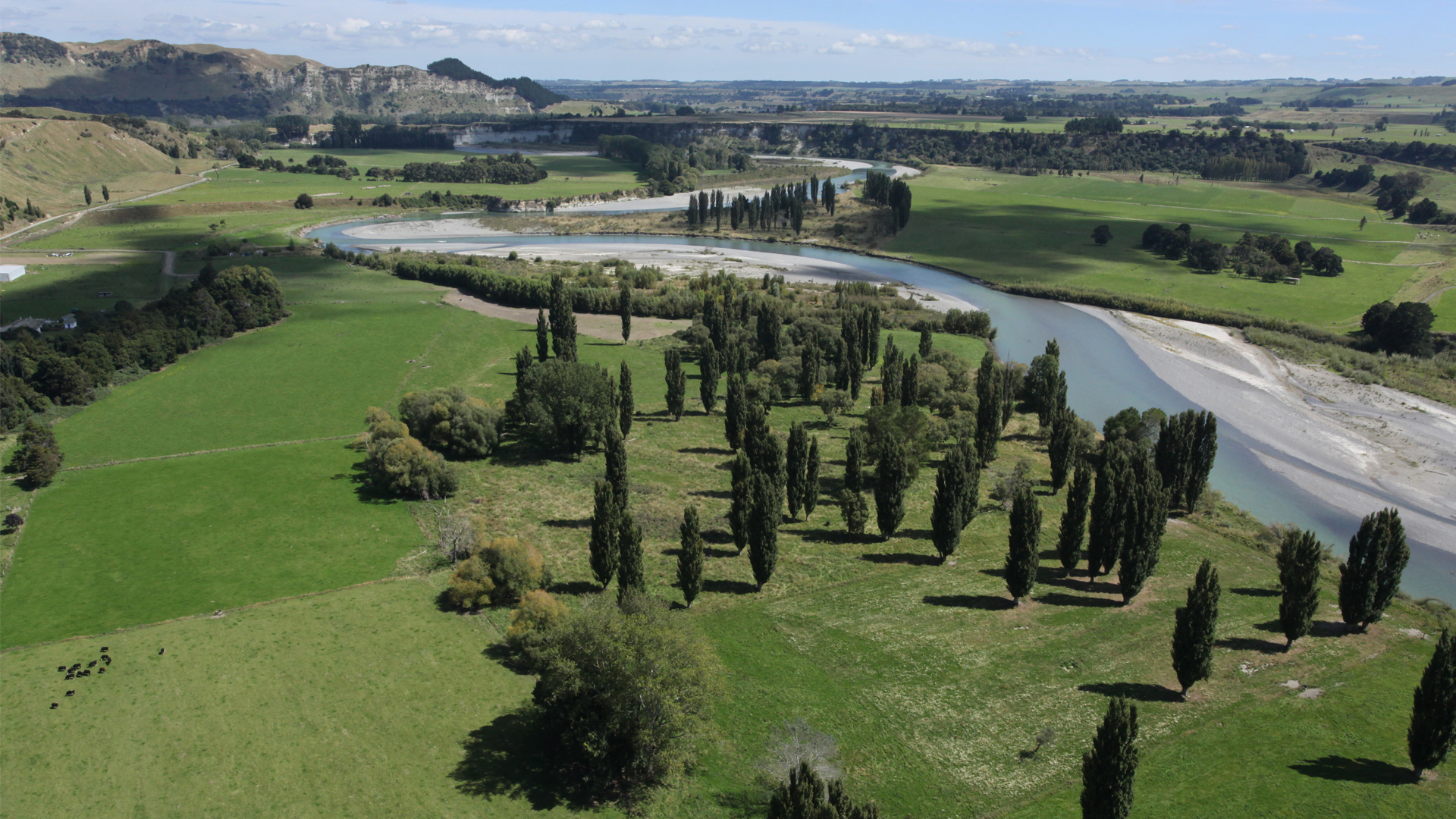
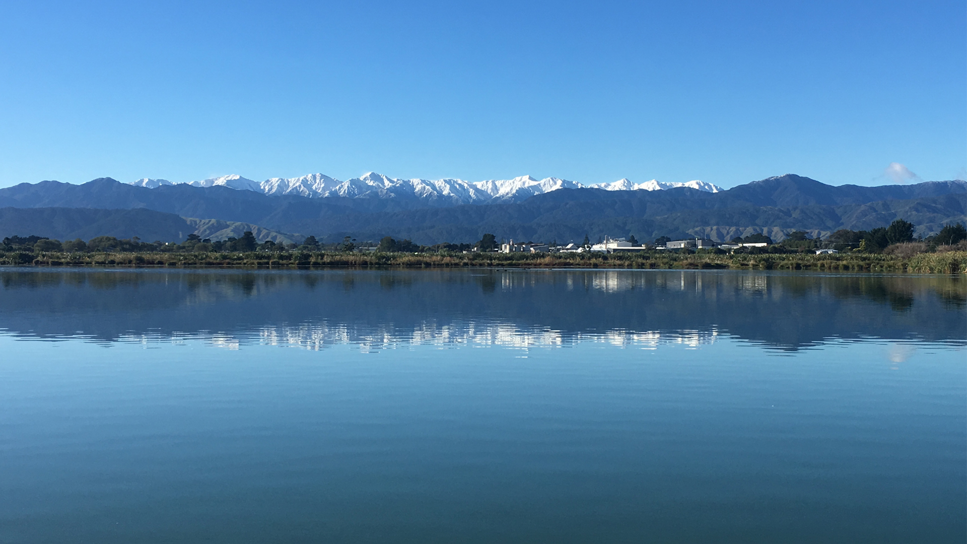
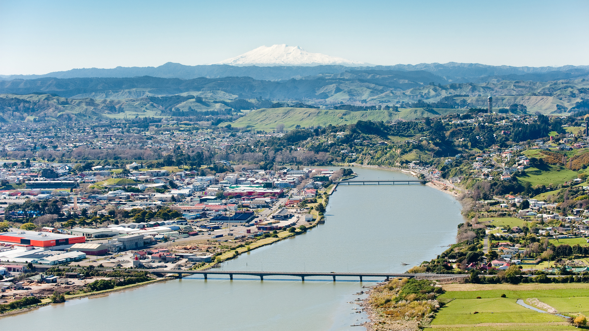
An FMU can be a water body (including rivers, lakes, streams, aquifers and wetlands), multiple water bodies, or any part of a water body determined to be the appropriate scale for managing freshwater. In the Horizons Region, they're based around river catchments.
All regional councils were required to set Freshwater Management Units (FMUs) under the Ministry for the Environment’s NPS-FM 2020. A Freshwater Management Unit is a spatial area including a water body or multiple water bodies and catchments. FMUs are intended to be the framework within which freshwater planning takes place and should be at a scale where freshwater can be appropriately cared for and give effect to Te Mana o te Wai. This can be a river catchment, part of a catchment, or a group of catchments.
In the Horizon region, FMUs have been based around larger river catchments or multiple smaller catchments and communities of interest. They extend from the smallest headwaters to the coast. All land that drains to that catchment, additional waterbodies within this area and receiving environments (lakes, wetlands), are also included. The development of shared values and visions underpin the FMU planning framework and as such changes to FMUs may be required as a result of further consultation.
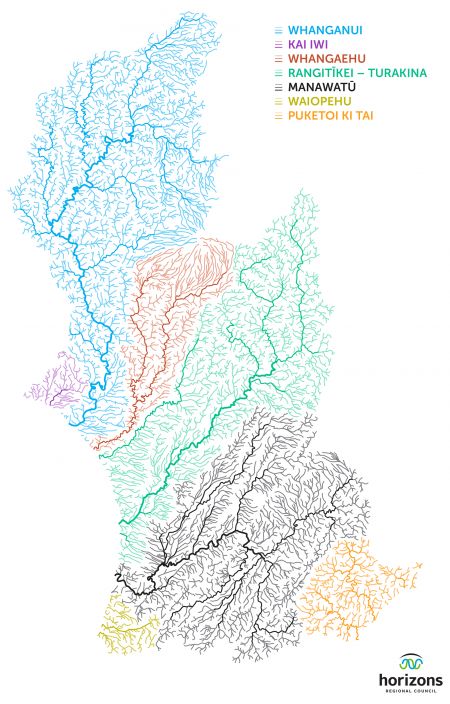
Seven FMUs are proposed:
- Whanganui
- Kai Iwi
- Whangaehu
- Rangitīkei-Turakina
- Manawatū
- Waiopehu
- Puketoi ki Tai
We are working through whether Turakina sits best in an FMU with Rangitīkei, as proposed, or with Whangaehu.
Key considerations included:
- Ki uta ki tai: Freshwater forms dynamic, connected systems from mountains to the sea. FMUs relate primarily to catchment boundaries of freshwater bodies.
This recognises that decisions about any part should be made in consideration of the whole, recognising the interconnectedness of the environment and the interactions between freshwater, surface and groundwater, land, and receiving environments (including estuaries, lakes and wetlands).
- FMUs should reflect co-governance/self-governance (Te Awa Tupua)
The ability for proposed freshwater management units to provide for river settlements under Te Tiriti o Waitangi. Ensuring that the Oranga Wai programme upholds the aims of the river strategies being developed by the Post Settlement Governance Entities. In the case of Whanganui that is Te Heke Ngahuru and for the Whangaehu it is Te Waiū o te Ika. There may be other river settlements in the future as well.
FMUs should be set at a scale:
- that considers grouping catchments with common characteristic and/or common management objectives;
- that balances administrative simplicity and custom solutions; and
- where consequences of management decisions fall within the FMU
Proposed FMUs should exist at a spatial scale suitable for defining and tracking progress towards freshwater objectives. Smaller units may be required to provide a useful tool for managing pressures, connectivity between reaches of a river system, and between surface and ground water. The One Plan outlines 10 groundwater and 43 surface-water management zones (WMZs). It is proposed that these be retained, ensuring that the unique values and objectives for different parts of a catchment can be acknowledged. This would continue to allow interventions to be targeted to manage pressures at the appropriate level within an FMU once policy objectives have been set.
The Manawatū and the Whanganui catchments each constitute a significant freshwater system. Spatially Waiopehu (beyond the Manawatū catchment) becomes a third FMU centred, in a sociocultural sense, on Levin and Lake Horowhenua. Similarly, Kai Iwi (beyond the Whanganui catchment) becomes a fourth and the Puketoi ki Tai catchments on the East Coast form a fifth FMU.
The three rivers in the centre of the region – Whangaehu, Turakina, and Rangitīkei – are each biophysically distinctive, the area is relatively sparsely populated, and groundwater (particularly toward the coast) essentially constitutes a single system. These rivers could be grouped together or considered separately. Here it is proposed Whangaehu forms a separate sixth FMU, with Rangitīkei and Turakina forming a seventh.
Find out more about the development of the proposed FMUs (PDF - 329KB)
Learn about your FMU and the current state of its freshwater


You can also view the 2023 versions of these FMUs, which formed part of our engagement round on target attribute states for freshwater in 2023.
You can also view the 2022 versions of our proposed FMUs. This information was used to engage on the community’s long-term visions for each FMU in 2022.
Note for Whanganui and Whangaehu: We are working collaboratively with post-settlement governance entities in the region for river Treaty settlements to ensure our work supports the objectives of the strategies being developed under Te Awa Tupua for the Whanganui River and provided for under Te Waiū-o-Te-Ika for the Whangaehu River.
It is acknowledged that our approach to implementing the NPS-FM in the Whanganui and Whangaehu River catchments needs to support the river settlement legislative processes and the outcomes sought in the resulting strategies. Head to the Have your say section for more information on our engagement approach.
Te Awa Tupua
The Whanganui River is subject to Te Awa Tupua (Whanganui River Claims Settlement) Act 2017. A whole of river strategy, Te Heke Ngahuru, is being developed by Te Kōpuka, a representative strategy development group. It is intended that the new Freshwater Regional Plan is a contributor to the achievement of the objectives of Te Heke Ngahuru.
Te Waiū-o-Te-Ika
The Whangaehu River is subject to the Ngāti Rangi Claims Settlement Act 2019, which has established the Te Waiū-o-Te-Ika framework for the catchment.